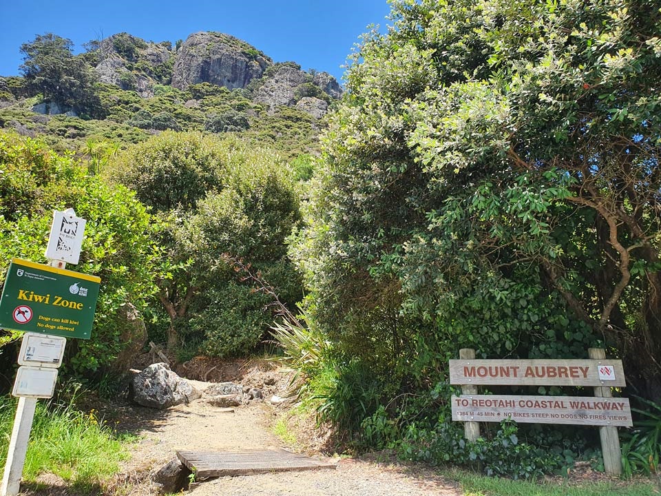
Mount Aubrey

Panorama photo showing 360 degree views from the top of Mount Aubrey.

Mount Aubrey is a steep, bush-clad ridge and scenic reserve rising above the settlement of McLeod Bay. It is part of the remains of an ancient chain of volcanoes in the area, which include the nearby Mount Manaia.

The views from the ridge and peaks are breathtaking, taking in the whole of the Whangārei Harbour, the Marsden Bay port and the old oil refinery.

Pātaua and the Pacific coastline can be seen to the east together with Mount Manaia and the Whangārei Heads to the south. 

Parking

There is a dedicated car park at Tiller Park, 600 metres on the left, off Reotahi Road, from where the northern end of the track starts.

The track can also be reached at its southern end from the Reotahi Coastal Walkway, near Little Munro Bay. Access options for that walkway are on the Reotahi page:

Reotahi

Wide panorama photo showing 360 degree views from the top of Mount Aubrey.

What to expect

  • A well-maintained and signposted track with a large number of steps. 
  • Mostly metalled other than along the ridge, which is grass. 
  • 360 degree panoramic views.

There may be some known and potential hazards that users should be aware of and avoid.

Known hazards in caves and on Council reserves

Reotahi Road to Little Munro Bay

Grade:      3
Time:        1 hour (one-way)
Distance:  1.5 km

The track passes through two large rocks and climbs the hill. The climb is quite steep with many flights of steps up to the top ridge.

At the top, the track continues along the ridge but a minor detour to the right up onto a rock dome and a trig point is well worthwhile, for those prepared to brave the short climb off the track. The 360-degree views from the top are spectacular but caution is recommended as there are no handrails.

Photo showing the start of the Mount Aubrey walk as seen from Tiller Park on Reotahi Road.

Location

Reotahi Road, Whangarei Heads, Whangārei 0174  View Map

Google Map